What a Drone Survey Price Really Includes
Clients often compare quotes as if every survey team is selling the same thing. In practice, one quote may only include flight time and a few orthomosaic outputs, while another includes ground control, dense processing, contour generation, CAD-ready files, and support for design or permit workflows. That is why the lowest number on paper is often not the cheapest project in reality.
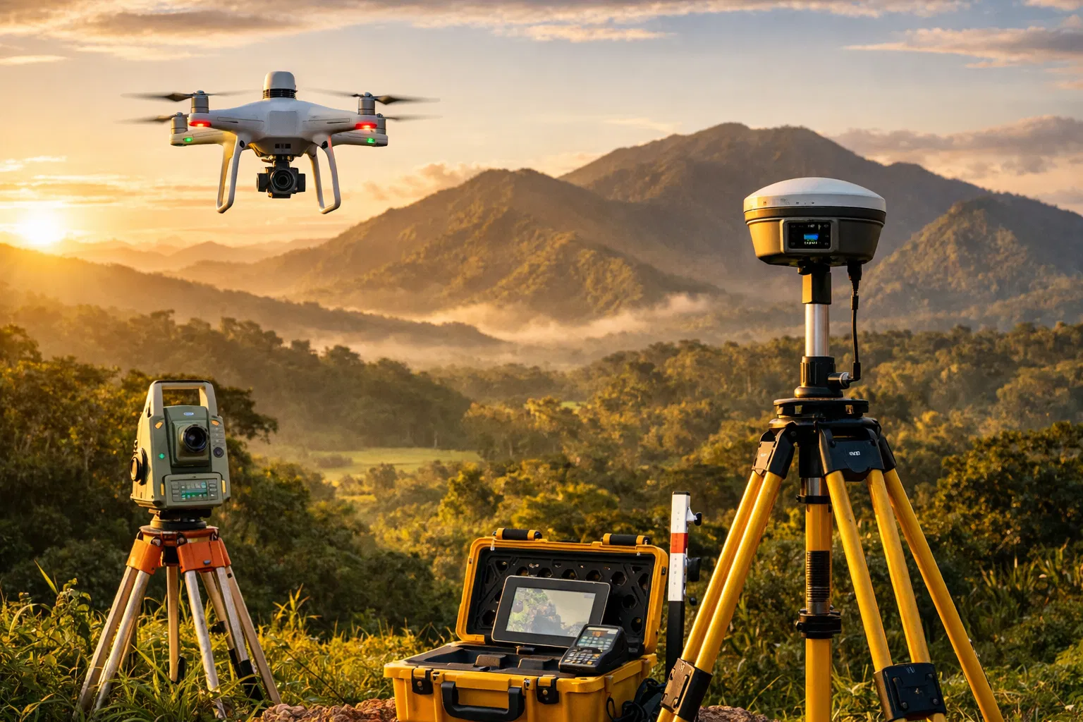
A professional drone survey quote in Costa Rica usually bundles some combination of site planning, airspace review, fieldwork, GPS control, data processing, QA, map production, and final deliverables. If the property is steep, heavily vegetated, remote, or near sensitive infrastructure, complexity rises fast.
Main Factors That Change the Price
1. Property Size
A small urban lot and a multi-hectare hillside parcel are not remotely the same job. Larger properties require more flight lines, more batteries, more control points, more processing time, and more QA before delivery.
2. Terrain and Vegetation
Open, flat ground is the cheap case. Dense vegetation, uneven topography, shadows, wet ground, and coastal or mountain conditions usually require more planning and may justify LiDAR instead of standard photogrammetry.
3. Required Accuracy
If the output is only for planning or marketing, the workflow is lighter. If the data will support engineering, drainage decisions, design coordination, or property-related documentation, accuracy requirements go up and so does the field/control workload.
4. Deliverables
Orthomosaics are one thing. Contours, DSM/DTM products, point clouds, section cuts, 3D surfaces, CAD exports, and annotated report packages are another. Every added deliverable increases processing time and review time.
5. Travel and Permitting
Costa Rica is compact, but travel still matters. Jobs in Jacó, Guanacaste, Limón, the Southern Zone, or remote mountain properties may involve travel, weather windows, and logistics that do not exist for an easy San José-area site.
Fast Budget Rule
If the site is easy, open, and small, price is usually driven by mobilization and deliverables. If the site is big, vegetated, steep, or technically sensitive, price is driven by risk control, accuracy requirements, and processing time.
Typical Pricing Bands for Planning Purposes
These are planning ranges, not fixed offers. Final pricing depends on scope, site conditions, timeline, and deliverables.
| Project Type | Typical Planning Range | What Usually Drives the Cost |
|---|---|---|
| Small residential lot or straightforward site check | From a low four-figure quote | Mobilization, access, and whether basic mapping is enough |
| Topographic mapping for design or development planning | Mid four figures depending on area and outputs | Ground control, contours, surface models, and file package requirements |
| Large parcel, steep terrain, or dense vegetation | Custom scope pricing | More flight time, more control, more processing, and possible LiDAR use |
| LiDAR-focused project | Premium over standard photogrammetry | Sensor class, terrain penetration needs, and heavier data handling |
| Rush turnaround | Additional premium | Compressed scheduling, priority processing, and weather risk |
When Paying More Is Actually the Cheap Decision
The wrong survey can cost more than the right one if it leads to redesign, boundary confusion, drainage mistakes, incorrect cut/fill assumptions, or missed terrain detail under vegetation. This is especially true for hillside construction, agricultural planning, road access studies, and development parcels where one bad assumption can ripple through the full project.
In those cases, paying for stronger control, better deliverables, or LiDAR-grade terrain capture is usually cheaper than fixing a bad base map later.
Photogrammetry vs LiDAR for Budgeting
Photogrammetry
Best for many open or moderately complex sites where you need orthomosaics, 3D surfaces, visuals, and general topographic information at a lower cost profile.
LiDAR
Best when the real challenge is terrain hidden by vegetation. In many Costa Rica projects, LiDAR is not a luxury tool. It is the difference between seeing the true ground and guessing under canopy.
Questions to Ask Before You Compare Quotes
- What exact deliverables are included?
- Is ground control included or optional?
- What level of accuracy is the quote built for?
- Is the job assumed to be photogrammetry only, or is LiDAR recommended?
- How are travel, re-visits, and weather delays handled?
- Will the output be usable for engineering, design, or permit coordination?
How to Budget Better in 2026
If you are early in a land purchase or development process, get the scope right before chasing the cheapest number. Define the property size, intended use, required outputs, and timeline. That lets the survey team quote the right job instead of a vague placeholder that changes later.
For developers, architects, land buyers, and investors, the best workflow is usually: scope call, site review, recommended method, clear deliverables, then fixed or staged pricing. That avoids the common Costa Rica problem where the survey quote looks simple until the site conditions show up.
Need a Quote That Matches the Real Site?
We help clients scope drone surveying, topographic mapping, and LiDAR work based on terrain, property size, and the decisions the data needs to support.
Request a Project QuoteOr send the property location and project goal on WhatsApp: +506 7293 8970
FAQ
Is there one standard drone survey price in Costa Rica?
No. Pricing depends on scope, site conditions, accuracy expectations, and deliverables. Anyone quoting a flat number without that context is simplifying too hard.
Does LiDAR always cost more?
Yes, usually. But on wooded or steep terrain it can be the more economical choice because it reduces bad assumptions and rework.
Can I get a quote without a site visit?
Usually yes, if you can share the location, approximate area, terrain conditions, and what you need delivered. A precise final scope may still require follow-up review.
What if I only need a simple map?
That can reduce cost substantially, but only if the simple map truly matches the project need. The cheapest deliverable is the one you only have to buy once.
Bottom Line
Drone survey pricing in Costa Rica is not about flight time alone. It is about how much uncertainty the survey removes from your project. If you budget based on terrain, accuracy, and deliverables instead of chasing the lowest quote, you usually end up spending less overall and making better decisions faster.
Survey Costa Rica supports land buyers, developers, engineers, and property owners who need reliable field data across Costa Rica. If you want help defining scope before requesting quotes, we can help with that too.